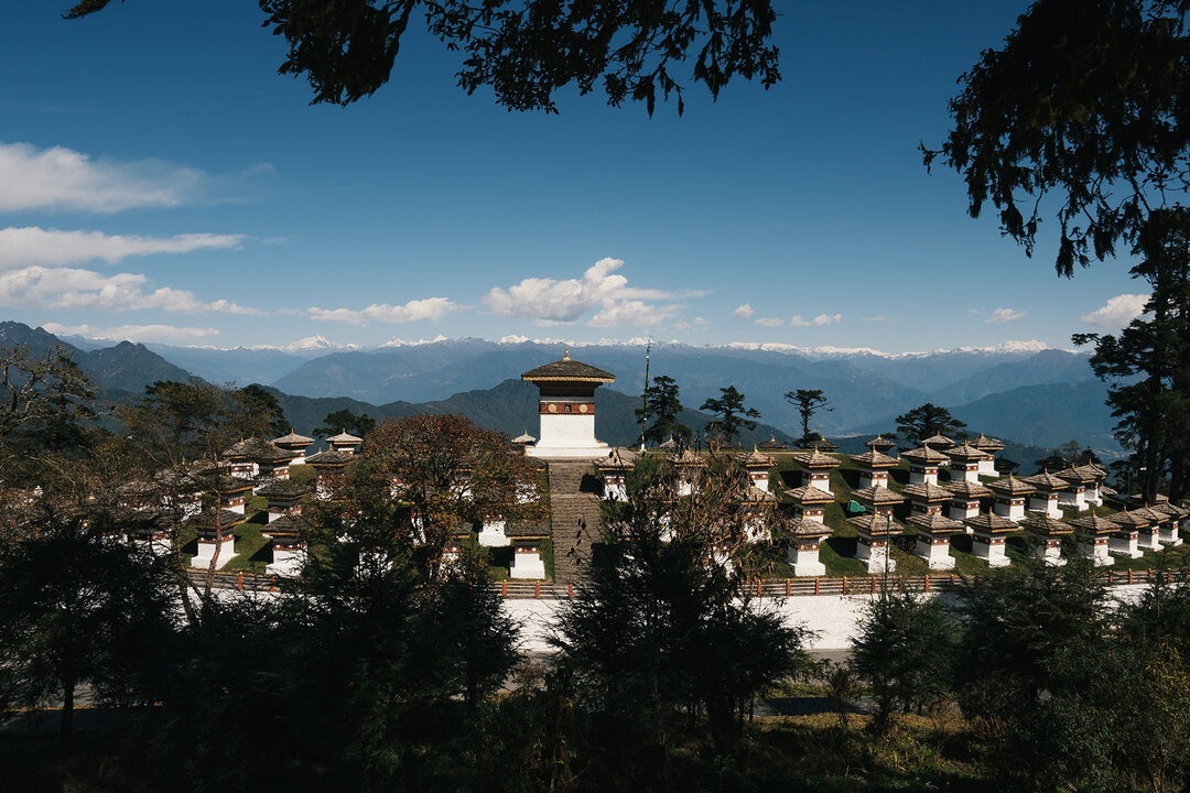
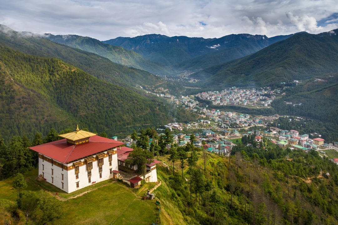
The Laya Gasa Trek is one of the most demanding yet rewarding Bhutan trekking tours, designed for seasoned hikers seeking a true high-altitude Himalayan challenge. Traversing some of Bhutan's most remote and dramatic landscapes, this trek offers an unmatched sense of isolation and adventure that no other route in the kingdom can equal.
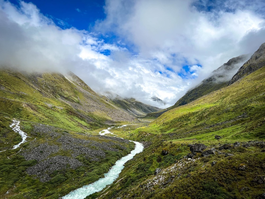
Spanning approximately 14 days, this epic Bhutan trek begins in Paro and concludes near Damji, Tashithang. After diverging from the classic Jomolhari Trek at Jangothang, the 217-kilometre trail ventures deep into Bhutan's high wilderness — crossing alpine meadows, glacial valleys, multiple high mountain passes, dense sub-alpine forests, and eventually sub-tropical zones as the route descends to the warm Gasa valley. Views of Mount Jomolhari (7,326m), Jichu Drake (6,989m), and Tsherimgang punctuate the upper sections of the trek with a powerful sense of the vertical scale of the Himalaya.
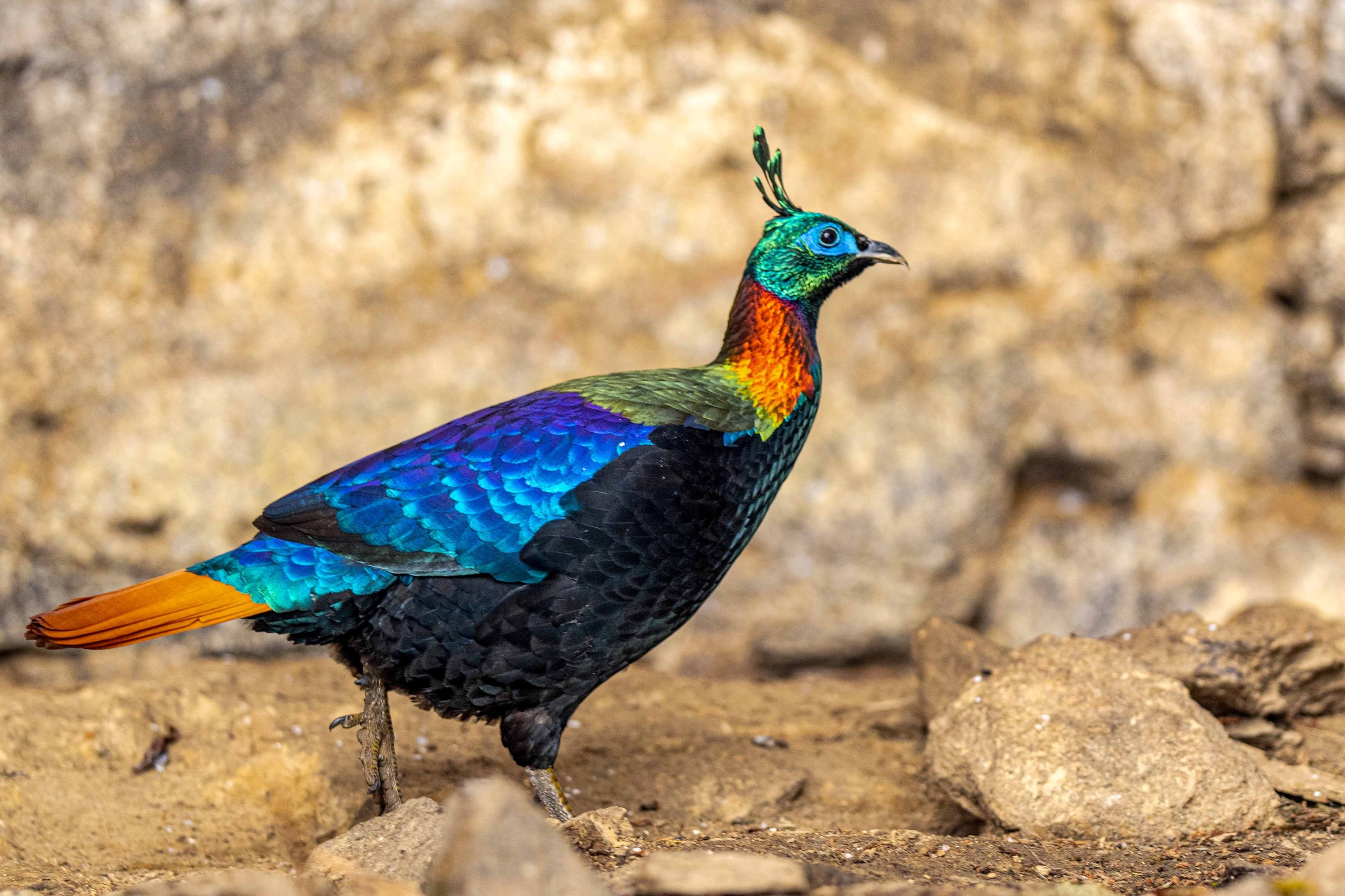
The region is extraordinarily rich in unique wildlife, offering rare chances to observe the national animal Takin in its natural habitat, alongside yaks, blue sheep, Himalayan marmots, blood pheasant, and the highly elusive snow leopard. What sets the Laya Gasa Trek apart from all other Bhutan trekking tours is its cultural depth. Trekkers spend meaningful time among the Layap community — known for their distinct nomadic highland lifestyle, traditional conical bamboo hats and yak-wool clothing — before unwinding at the restorative Gasa Hot Springs. Best undertaken between April–June and September–November, this journey stands among the most iconic adventure tours on Earth.
Countries Visited
Bhutan
Places Visited
Paro to Damji, Tashithang
Suggested Duration
14 Days
Tour Type
Demanding High-Altitude Trek
Arrive at Paro International Airport and meet your Nirvana Journeys specialist guide and trek leader. The afternoon is devoted to a detailed expedition briefing covering the full route — 217 kilometres of some of the most demanding and remote terrain in the Himalaya. Your guide will walk through the day-by-day profile, altitude thresholds, acclimatisation protocols, camp logistics, and the cultural encounters awaiting you among the Layap people. Visit Rinpung Dzong and take a relaxed walk along the Paro riverbank as an orientation to the valley that your trek begins from tomorrow morning.
Drive from Paro to the Druk Path trailhead and begin the long northward walk that will ultimately cross into the remote highlands of northwestern Bhutan. The trail follows the Paro Chhu river upstream through a broadening glacial valley lined with blue pine, following the same route walked by trade caravans for centuries between Bhutan and Tibet. The army check post at Shana marks the entrance to the national park and the formal start of the high-altitude section. Camp at Shana (2,860m) beside the river. Trekking distance: approximately 18km.
The valley narrows dramatically as the trail continues north through increasingly wild landscape. Rhododendron forest gives way to rocky glacial moraine and the first sustained views of snow peaks appear at the valley head. Altitude becomes a real factor by this stage of the route, and the walk is paced accordingly. Pass yak herders' camps and the occasional abandoned stone shelter used by Bhutanese traders historically. Camp at Thangthanka (3,610m), where the scale of the Himalayan landscape ahead becomes apparent for the first time. Trekking distance: approximately 16km.
One of the defining days of the entire trek: the approach to Jangothang base camp (4,080m) at the foot of Mount Jomolhari. As the valley opens, the immense south face of Jomolhari (7,326m) — Bhutan's sacred "Jewel of the Mountain" — fills the horizon with an extraordinary wall of ice and rock rising more than 3,200 metres above the campsite. This is the shared section with the classic Jomolhari Trek, and the most dramatic single mountain vista in Bhutan. A ruined dzong and scattered stone walls speak to the valley's ancient history as a frontier outpost. Trekking distance: approximately 18km.
A full rest and acclimatisation day at Jangothang — essential preparation for the high passes that lie ahead on the Laya Gasa route. The day is not passive: your guide leads a shorter exploratory hike to the ridgeline above camp, from where Jichu Drake (6,989m) comes into view alongside Jomolhari's summit ridge, offering what many consider the finest mountain photography position in the entire country. Watch for blue sheep, Himalayan marmots and, if conditions are right, the rare Takin grazing on the upper slopes. Return to camp for altitude-adjusted meals prepared by the trekking crew.
The Laya Gasa Trek diverges from the Jomolhari route here, heading east over Nyile La pass (4,870m). The ascent from Jangothang is long and gradual, crossing stony ridges adorned with prayer flags as altitude presses in. At the pass, a 360-degree panorama unfolds — Jomolhari to the west, the Lingshi valley to the east, and a horizon of unnamed peaks in every direction stretching to the Tibetan plateau. The descent into the wide Lingshi valley brings a warm, sheltered camp at Lingshi (4,010m) beside one of the most isolated dzongs in Bhutan. Trekking distance: approximately 19km.
A rewarding shorter trekking day that descends from Lingshi and traverses open moorland and yak pasture to the small, sheltered hamlet of Chebisa (3,880m). This remote village of stone farmhouses is home to a handful of families who practise traditional high-altitude farming, and the afternoon offers one of the most authentic rural Bhutanese cultural encounters of the entire trek. Behind the village, a dramatic waterfall drops from a cliff face into the valley — a celebrated viewpoint. Listen for Himalayan griffon vultures and watch the local children tend yaks on the slopes above the settlement. Trekking distance: approximately 14km.
Cross the Gobu La pass (4,440m), the second significant pass of the Laya Gasa route. The ascent from Chebisa passes through high-altitude meadows where snow leopard tracks have occasionally been recorded by the Nirvana Journeys guide team. At the pass, peaks along the Bhutan-Tibet border fill the northern skyline — a reminder of how deep into Bhutan's frontier zone the trek now reaches. The descent brings the trail into the broad, sheltered Shomuthang valley (3,950m), where one of the most beautiful campsites of the trek awaits beside a glacial stream. Trekking distance: approximately 17km.
A demanding day that crosses Jhari La (4,750m) and descends to the high glacial flat of Robluthang (4,160m). The pass offers another powerful frontier panorama and the accumulated physical and psychological distance from Paro becomes palpable at this midpoint of the trek. Robluthang itself is a wide, treeless plain at extreme altitude — exposed, cold, and utterly silent at night. The campsite here sits directly below the rock walls that lead toward Sinche La, the highest point of the entire trek and the most challenging day that lies immediately ahead. Trekking distance: approximately 19km.
Sinche La (5,005m) is the highest point of the Laya Gasa Trek and the most demanding single day of the route. An early start from Robluthang is essential — the pass is typically reached before midday to avoid afternoon cloud build-up. The final approach is steep and rocky, crossing permanent snowfields that require careful footing. At the summit, a dense field of prayer flags marks one of the highest trekking passes in Bhutan. The descent to Limithang (3,940m) is steep and long, rewarding completion with a warm camp in a sheltered meadow. This is the day that defines the Laya Gasa Trek as a test of genuine endurance. Trekking distance: approximately 16km.
The walk to Laya is one of sustained anticipation — after the brutal physical demands of Sinche La, the approach to this remote highland village carries a sense of arrival at something genuinely rare. Laya (3,820m) sits in a high valley near the Tibetan border and is home to the Layap people: a semi-nomadic highland community distinguished by their traditional conical bamboo hats trimmed with yak wool, their striped handwoven garments, and a lifestyle tied entirely to yak herding and highland farming. Camp on the outskirts of the village as Layap women and children observe with curiosity and openness. Trekking distance: approximately 12km.